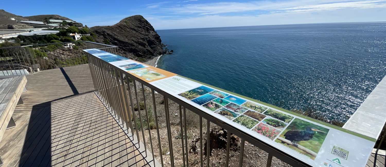
Known as the El Hondurón Viewpoint, the name refers to a submerged geographical feature located directly in front of us, which local fishermen have long called “hondurón” due to the deep, long, and narrow underwater ravine that extends into the depths of the Alboran Sea.
This unique geographical feature is crossed by a series of submarine canyons, where the Jolúcar Canyon stands out. It is an extinct submerged river valley on the Mediterranean slope, located in the area closest to the Urban Beach and extending from the vicinity of the rocky headland to Carchuna Beach.
With steep slopes and depths of up to 350 metres, this canyon is one of the most significant on the Costa Tropical. Its presence has shaped the morphology of the beaches over time, as it traps sediments and prevents them from returning to the shore. Returning to the surface, this window onto the ocean sits 58 metres above sea level and is one of the municipality’s most scenic viewpoints.
Located halfway between the town center and the Sacratif Lighthouse, this is an opportunity to breathe in the ocean breeze and enjoy some of the most beautiful sunsets, both in summer and winter. Below, we will explain some details about the bathymetry of this submarine valley, how it affects the surrounding beaches during wave action through sediment transport, and the types of flora and fauna that inhabit both the sea and the land.
A UNIQUE PLACE
This viewpoint is built on an old irrigation cistern that has served for years as a resting place and observation point of the coastline on the way to the naturist beach of La Joya. Due to its deteriorated structure over time and with the new PR-A 420 “Miradores y Acantilados de Torrenueva Costa” trail, a landscape intervention project was carried out, including the restoration and creation of a new viewpoint with benches for resting and the replanting of the surrounding flora through an irrigation system.
In its layout, this wooden platform features three observation points marked by protruding sections: to the southeast, we can admire the beauty of La Joya Beach and the continuation of the route towards Sacratif Lighthouse; to the southwest, the view stretches from the nearest part of Torrenueva Costa to the vast landscape shaped by the Sierra de Almijara, framing in the distance the port of Motril, Salobreña, and Almuñécar; finally, the third observation point highlights the important hill that surrounds Torrenueva Costa and forms part of the PR-A 420 route, where various trails can be found with the characteristic flora and fauna of the subtropical microclimate.