The irrigation channel system of the Costa Granadina constitutes a hydraulic infrastructure that has shaped the landscape and regional economy from the Guadalfeo River delta to the town of Calahonda. This network has its origins in the Andalusi period (9th–16th centuries), when the agricultural revolution promoted the improvement of irrigation techniques in order to intensify agricultural production in the coastal plain.
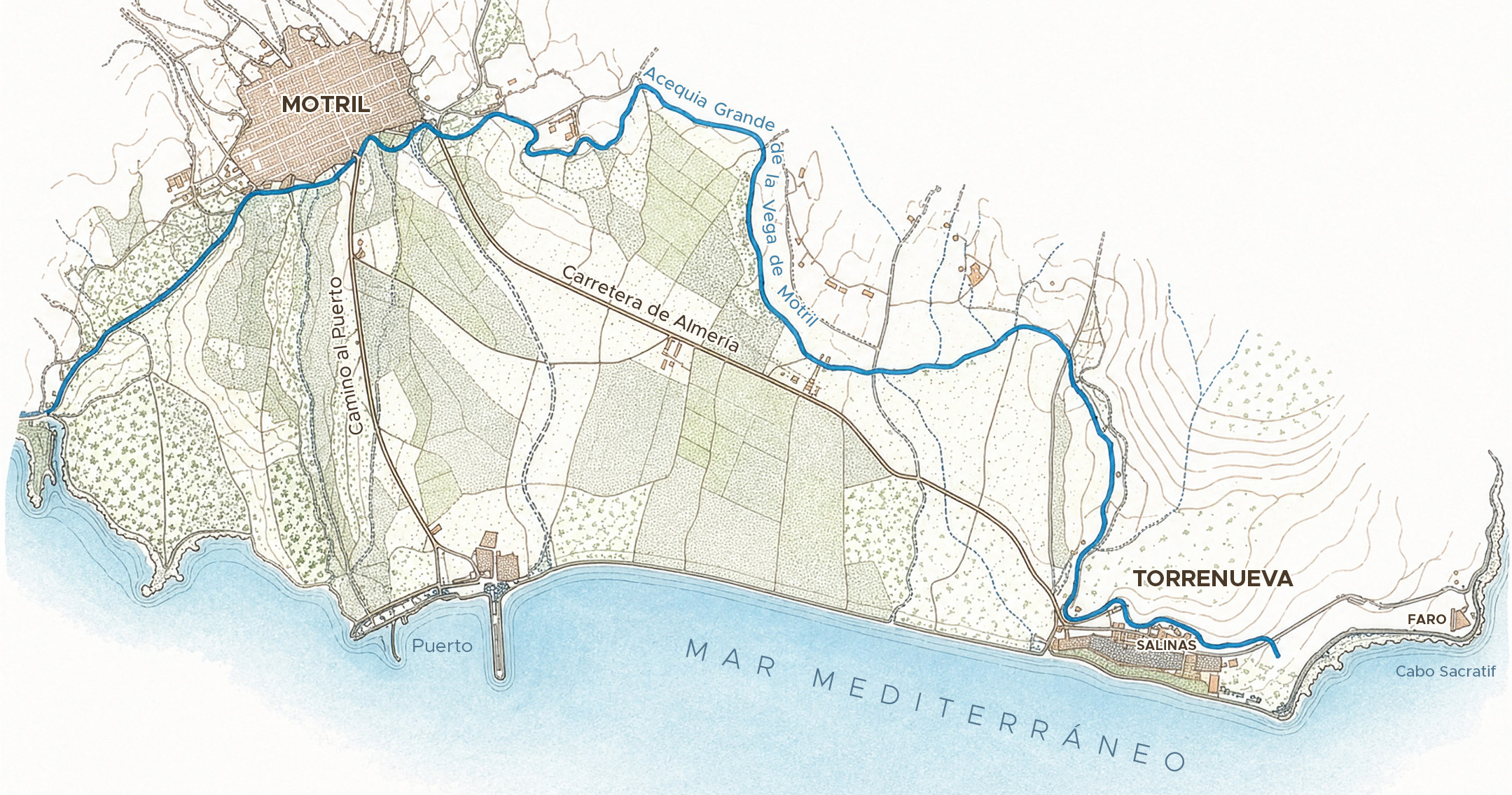
The main network, known as the Acequia Real de Motril, begins at the Azud de Vélez and extends for approximately 23 kilometres through a complex hierarchy of channels composed of main canals, branches, and secondary distributaries, allowing water to reach different topographical areas. The section corresponding to the El Maraute district functions as a branch canal, that is, a bifurcation dividing the watercourse into two near the former salt flats: one branch ended at Cape Sacratif, while the other reached the plains of Carchuna and Calahonda. This construction also served as a natural boundary between the intensively cultivated lands to the north and the estuarine drainage areas to the south.
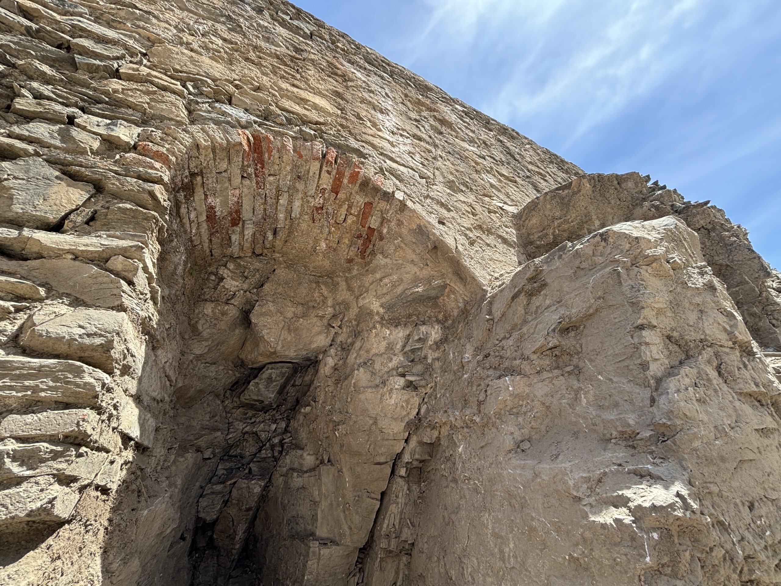
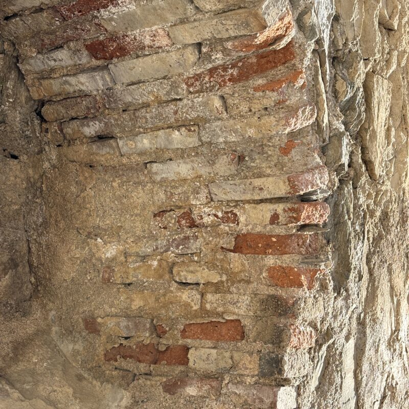
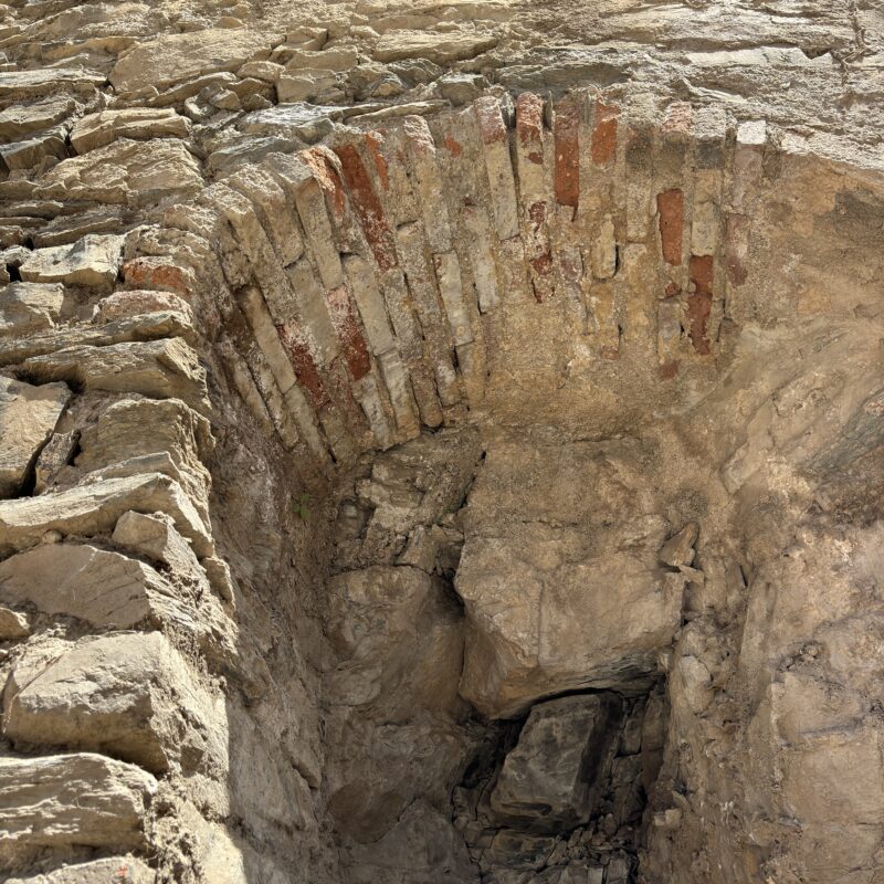
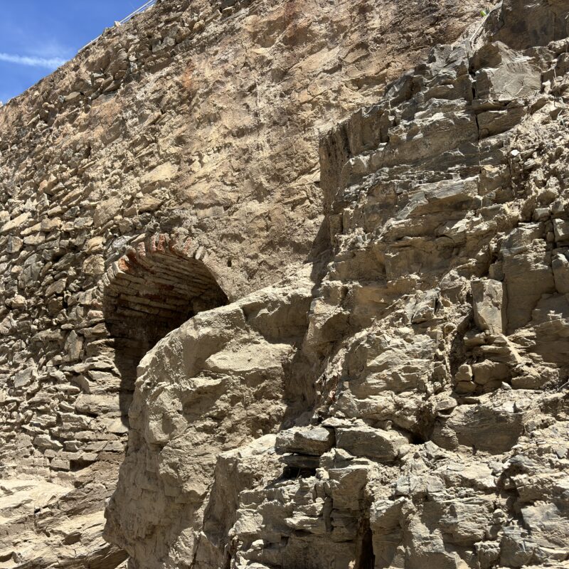
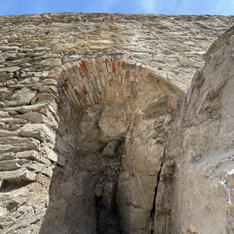
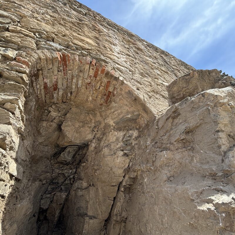
The section where we are currently located preserves the arch that housed a diversion gate used to regulate the irrigation flow. The canal was built using limestone masonry and lime mortar, materials strategically employed to prevent leakage and ensure that the water maintained sufficient pressure to reach its destination. During the 20th century, this system supplied a modern cistern with an approximate capacity of 400,000 litres of water intended for irrigating the fertile plain between Torrenueva and Motril.
This infrastructure has therefore remained in uninterrupted use for more than a thousand years, and its route stayed virtually unchanged from the Middle Ages until the mid-20th century, when modern engineering works and the construction of dams such as Rules and Béznar transformed the hydrological dynamics of the Guadalfeo River.